AR High Country Route Section 2 North
$15.75
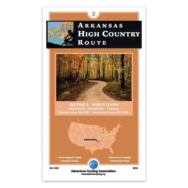
This map shows the Central Loop and the Northwest Loop. The Central Loop traverses the Boston Mountains of the Ozark Plateau, the Buffalo National River corridor, and the Arkansas River Valley. The route passes by the Upper Buffalo Headwaters Trails and the Syllamo Trails.
The Northwest Loop climbs and drops between the Springfield Plateau and the Boston Mountains of the Ozark Plateau. The paved Razorback Regional Greenway makes for easy travel between Fayetteville and Bentonville. The route passes by the Upper Buffalo Headwaters Trails.
In stock: 1 available
Save this product for later
AR High Country Route Section 2 North
Product Details
UPC: 9780732284787
Brand: ACA
This map shows the Central Loop and the Northwest Loop. The Central Loop traverses the Boston Mountains of the Ozark Plateau, the Buffalo National River corridor, and the Arkansas River Valley. The route passes by the Upper Buffalo Headwaters Trails and the Syllamo Trails.
The Northwest Loop climbs and drops between the Springfield Plateau and the Boston Mountains of the Ozark Plateau. The paved Razorback Regional Greenway makes for easy travel between Fayetteville and Bentonville. The route passes by the Upper Buffalo Headwaters Trails.
671.8 miles
Map Resources
- Map Features
- Map Updates and Corrections (Addenda) - Always be sure to check for map updates and corrections before leaving on your trip.
- Temporary Road Closure Information
- Frequently Asked Questions
Display prices in:USD

