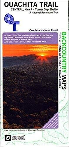
Ouachita Trail Map - Central
$14.95
In stock: 1 available
Save this product for later
Ouachita Trail Map - Central
Product Details
UPC: 9780998280738
Included are:
Upper Quachita Rec. River and Lake Ouachita
Big Brushy
Caddo Bend
Fourche Mtn
LOViT
Little Blakely
Possum Kingdom and Womble Trails
an army Corp, Forest service and State Recreation Area.
Scale 1: 50,000
contour 50' apart
PS: this backcountry Map is one of a series of trail maps for through hikers and single track mountain biking series in the Eastern Ozark.
Display prices in:USD

